
Warden Fishing Beats Map
To find out more about about our fishing beats you can use the interactive map below.
Each beat is represented by a coloured line. You can find out about specific locations on each beat by clicking one of the icons. Information will appear in a pop up window. You can also zoom in and out of the map, and choose either normal or satellite view. The yellow lines show access tracks, with parking available.
FOURSTONES
The Fourstones Beat stretches for just under 1 mile from the village of Fourstones to Fourstones Paper Mill on the left bank of the South Tyne.
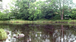
BADDOX & BOATSIDE
Just over 1 mile of fishing, starting on the Right Bank of the South Tyne above Fourstones Paper Mill, stretching past the Baddox Farm.
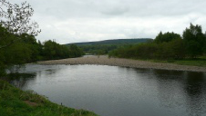
WATERSMEET
In total, just over two thirds of a mile of fishing on both the North Tyne and the South Tyne and their junction, with 6 named pools.
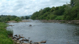
THISTLERIGG
Thistlerigg Beat stretches just under 1 mile from Walwick boundary pool through Sandy wood, Wall rapids, Folly and Thistle pools down the flats to Nether Warden boundary.